Where the boat is, live
The boat on the map, with its heading, and the wind and speed readings from the tracker underneath.
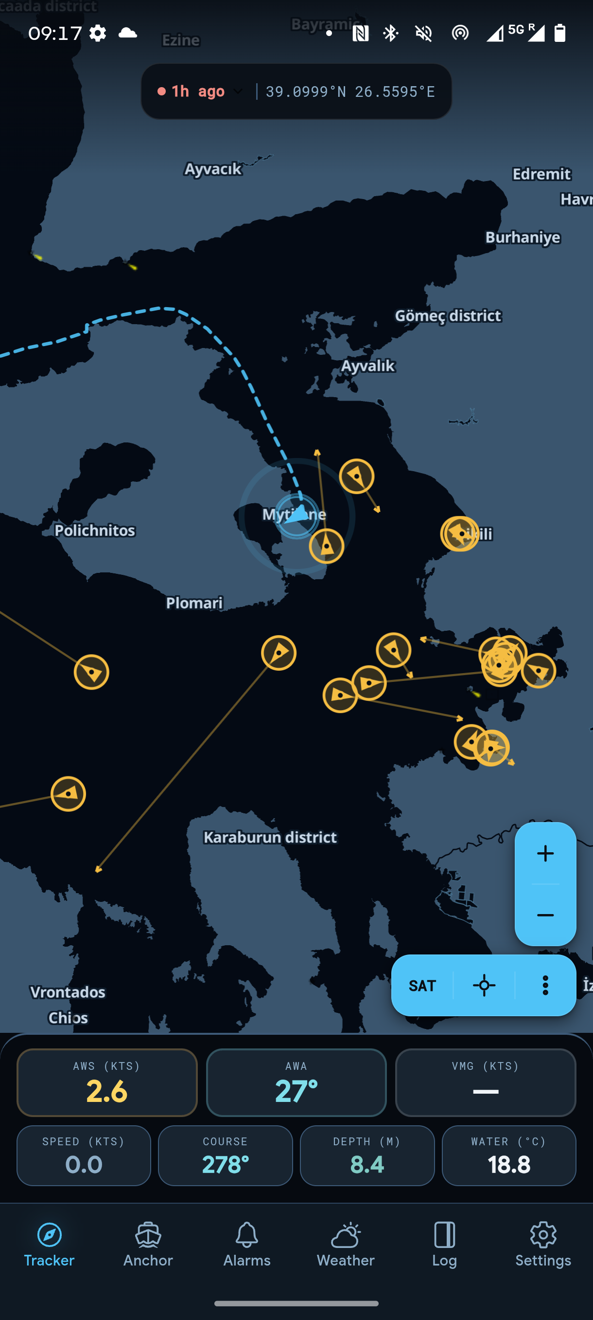
Position, wind, depth and speed from the tracker on board, with the alarms and logs you want when you are ashore.
The boat on the map, with its heading, and the wind and speed readings from the tracker underneath.
Readings straight from the tracker, updated as they arrive: wind angle and speed, course, speed through the water, VMG, depth and water temperature.
Vessels within range, with their name and speed. A ship on a collision course is flagged before it is close.
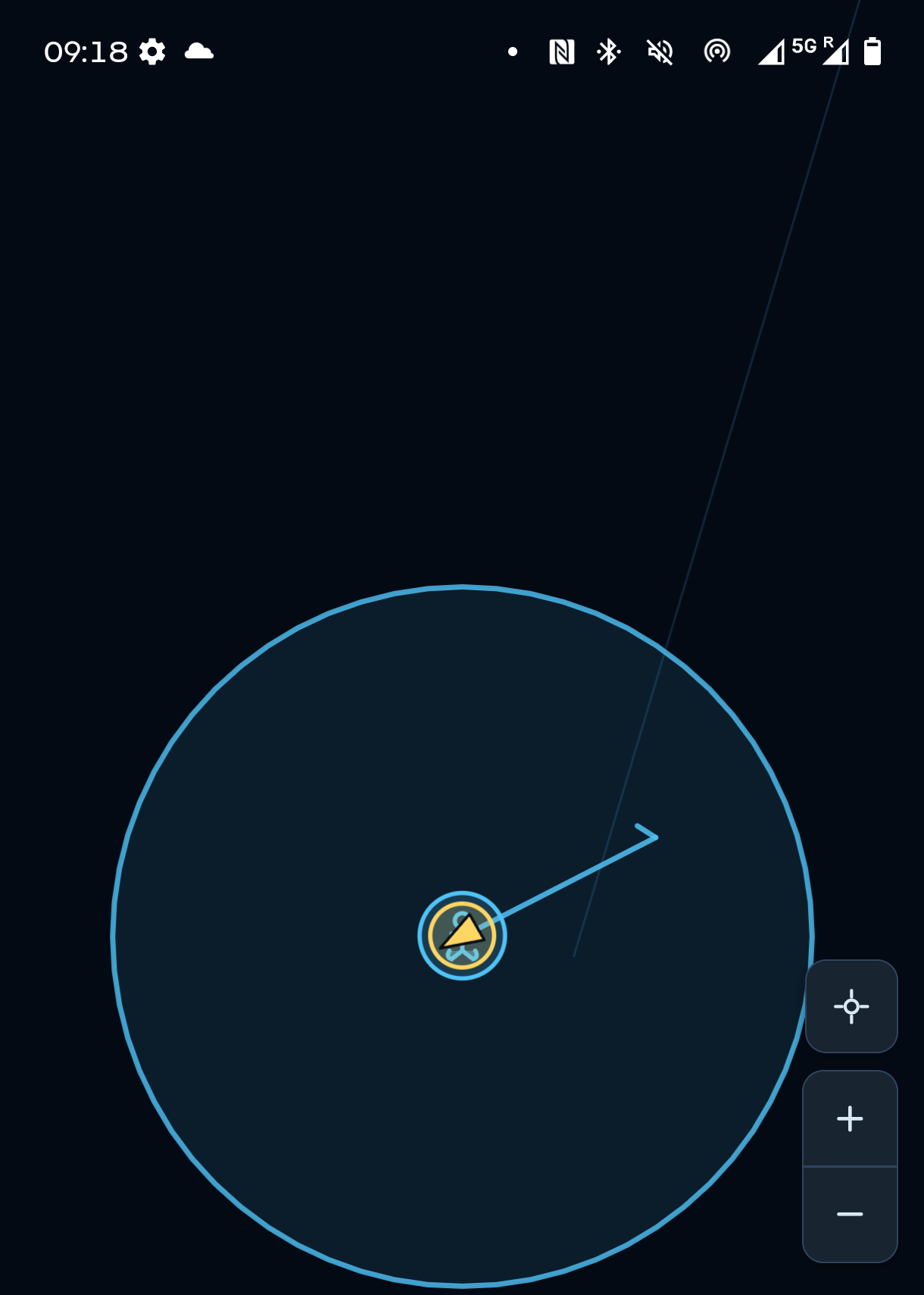
Set the radius when you drop the hook. If the boat drags out of the circle you get an alarm, and a push notification even when the app is closed.
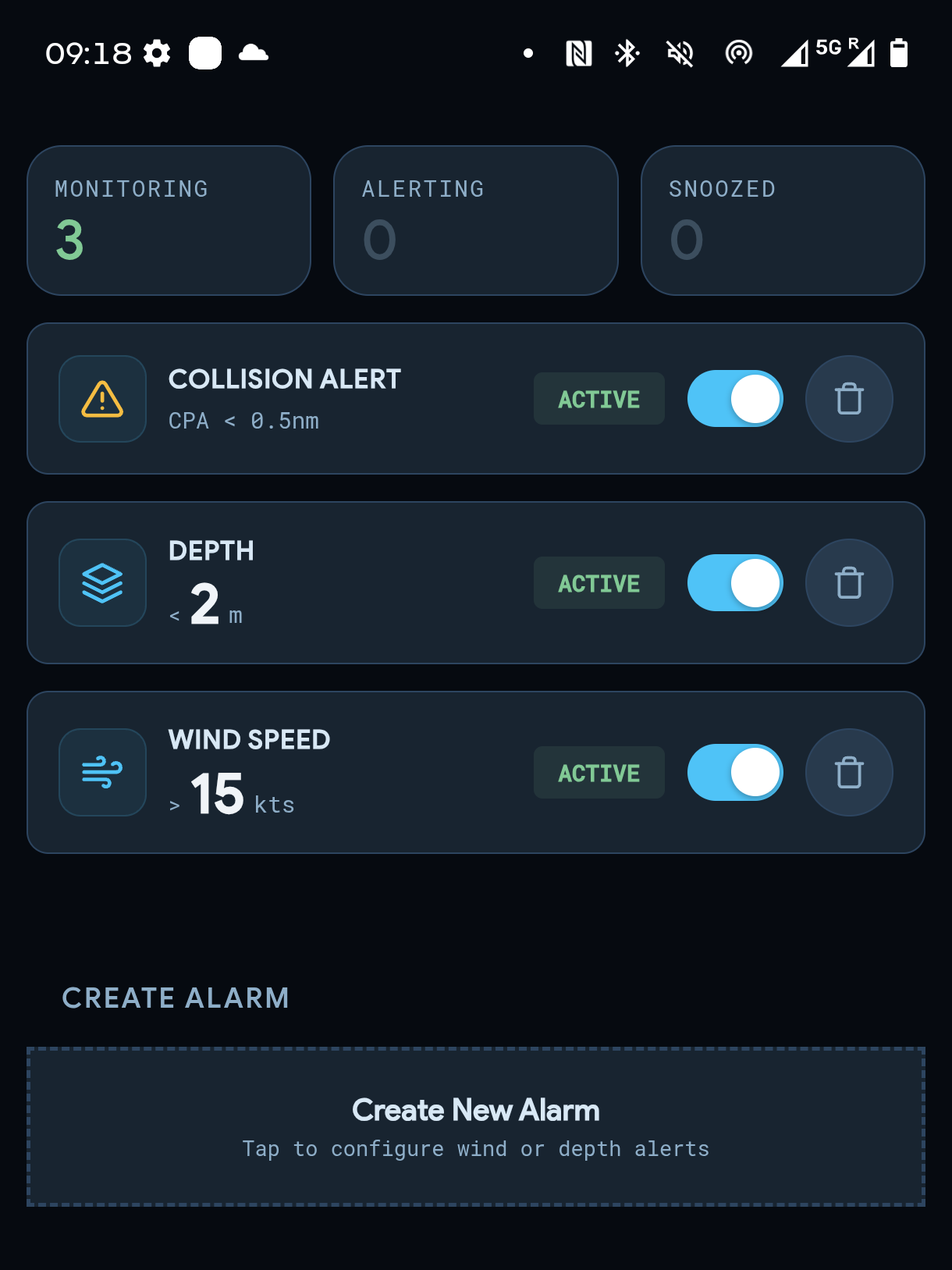
Wind, depth and speed limits, plus collision alerts for ships nearby. Each one sounds until you acknowledge it.
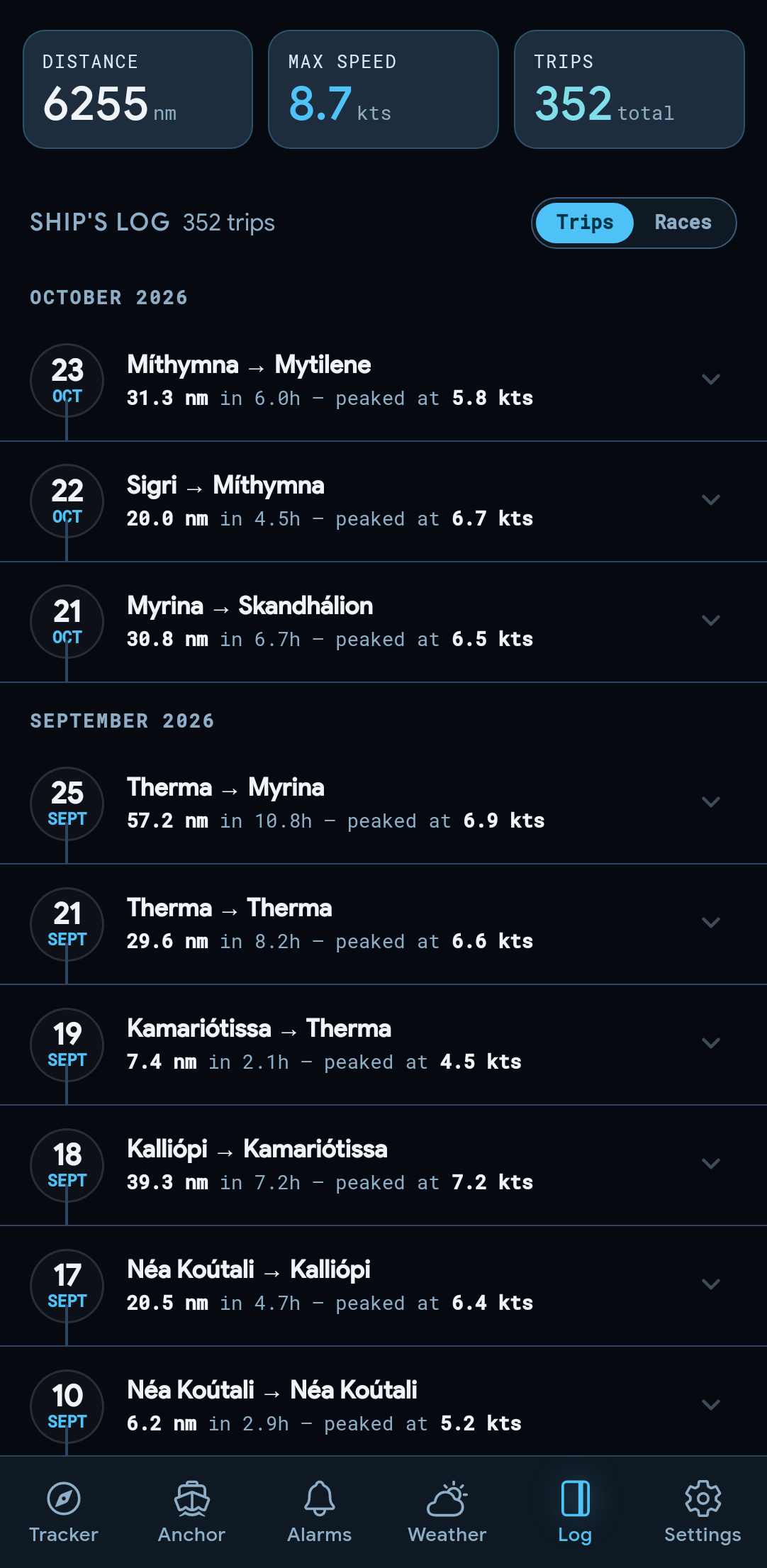
Each trip with its distance, duration and peak speed. Open a trip to replay it, then save or share it as a short video.
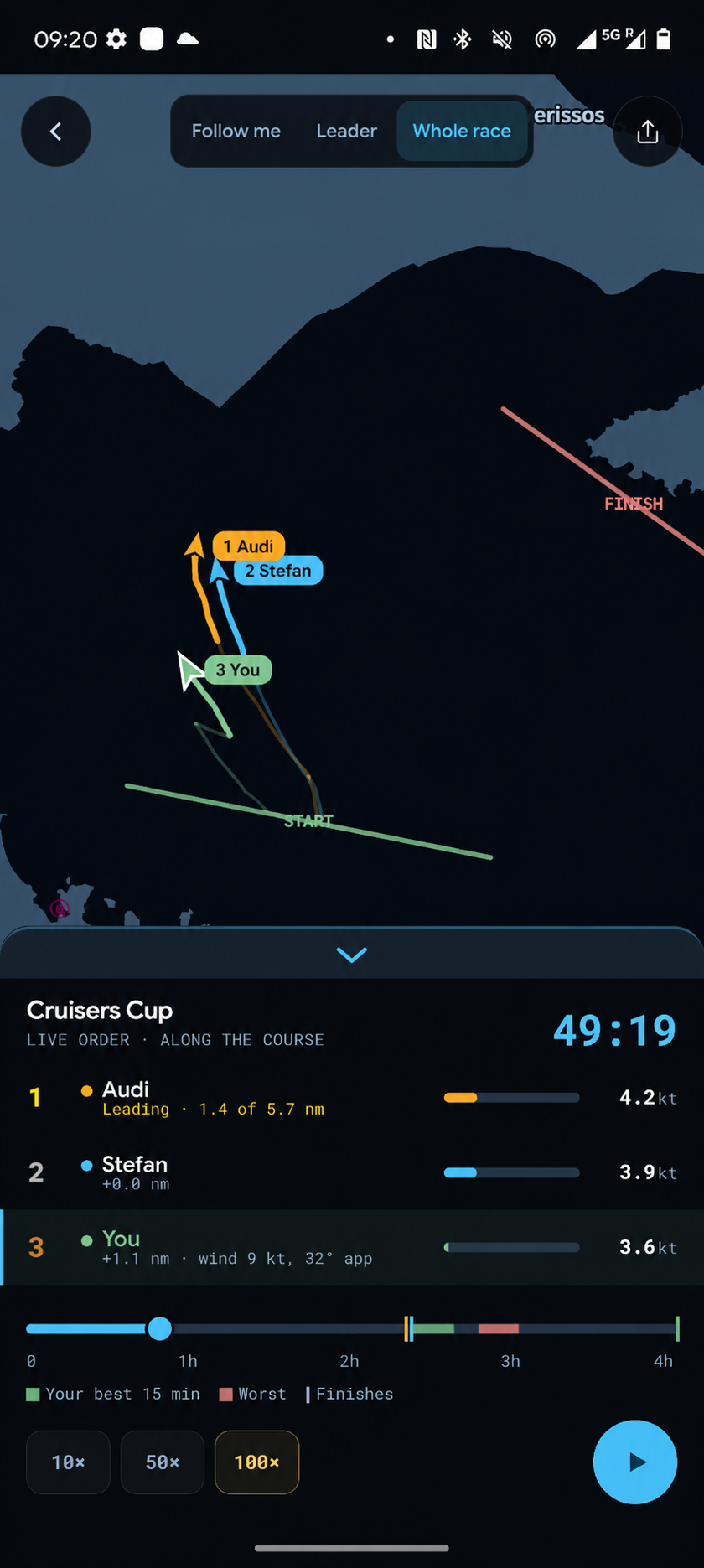
Replay a race to see every boat on the course, the live order, and each boat's speed as it went.
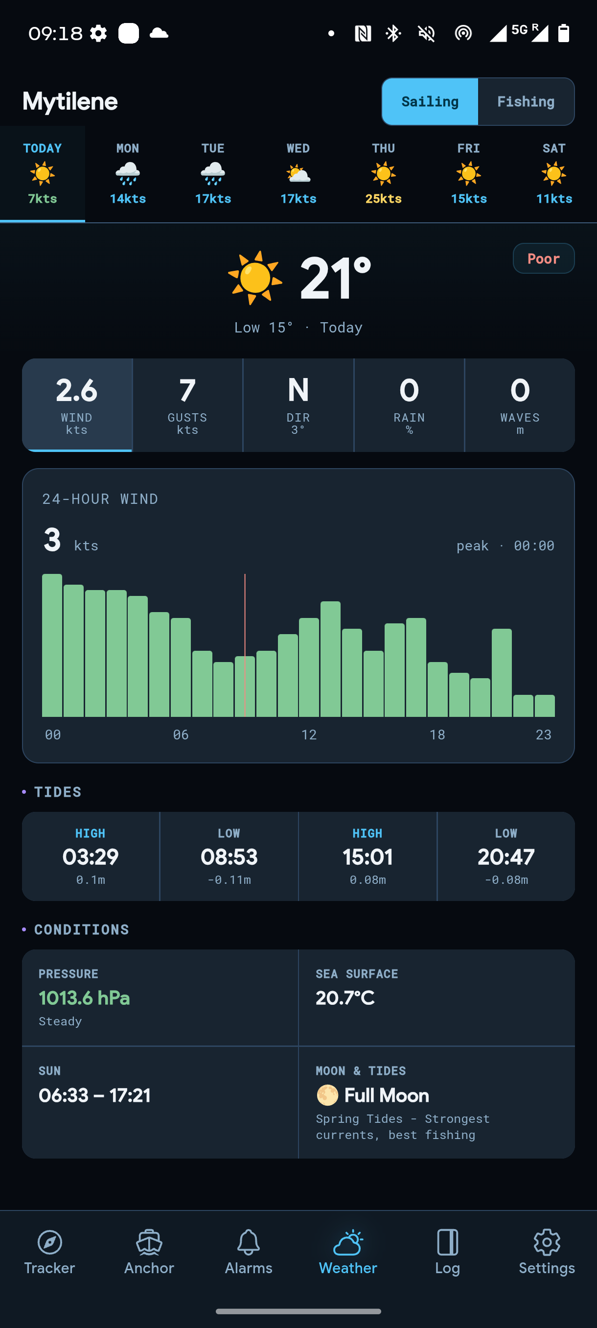
The forecast for the boat's position, day by day, with wind, gusts, tides and conditions.
Plan a passage between two points. It ranks routes by how much of the way you can sail, not just by distance.
No tracker yet? The phone's own GPS does the job. Add a tracker later and switch the app to the boat's data in Settings.
It connects to your phone over Bluetooth, sends the boat's position over Wi-Fi, and updates its own software when a new version is out.
Friends who share their boat show up on your map, with their position and when they were last seen.
Download the area you sail in and the map keeps working when the signal drops.
Get the app, then connect a tracker if you have one.